Jeff Schmerker
Following faint tracks.
I had been hunting the topo maps of the Rocky Mountain Front and found this place, just in front of Teton Pass Ski Area. It looked like a go, but I was not sure about it until I read a trip report by a blogger from Great Falls. The Rocky Mountain Front probably has some of the worst weather in Montana, and that means it also probably has some of the worst weather in America, but the morning I drove in was clear skies, no wind, a foot of fresh snow, and -16F. Someone had snowshoed in prior to this most recent storm, so for the first mile I had a faint track to follow. No worries, the canyon is simple to navigate, and within two hours I was into the open basin and gauging my line of ascent for Lockhart.
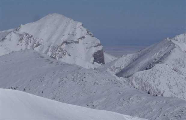
It was straightforward if occasionally steep, and not too exposed. Within another hour I was atop the ridge, staring into the heart of the Bob Marshall, the flank of the Rocky Mountain Front, the Continental Divide, and even the remote and mystical Chinese Wall, plus Glacier National Park and the scattered ranges that dot the plains eastward. Too bad, but Lockhart was a no-go – big cornices and a narrow ridge, but the run down was one of the best of the season.
Read more


