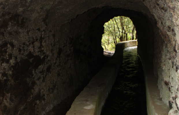
Path along old water canals
The Nacientes de Marcos y Cordero Path is a descending path that goes along the old canals that provided water to the island and the gully/ravine for the Tiles forest to the North of the Island.
To begin the route, go to the information center that´s located at the end of the road, just before the town of San Andrés and Sauces (if you´re coming from Santa Cruz). There, they´ll inform you about where to find the 4x4 taxi that will take you to the highest peak, which is where you´ll start the hike (the taxi cost us about 15€ per person). The best time to catch the taxi is at 9 in the morning. No one gets up early on this island and you´ll be among the first, meaning you won´t have to wait for anything.
The descent takes about five hours. It´s essential you wear hiking boots, a windbreaker and bring a flashlight! We went inside the canal tunnels where there´s no natural light and everything is wet.
Once we advanced past the canal area, we went through a gully (we went jumping over the rocks like mountain goats because there´s isn´t a carved out path) and then arrived at the path that goes along Tiles forest. There we found the amazing prehistoric ferns that still grow on this part of the island.


